Consolidated Sand Profiling by Geo Insight 3D SBP
2023-06-07
Products:Geo Insight
Date:At the end of May, 2023
Location:Dongying Shandong
Speed of Veddel:4 to 5 knots
Water Depth:Around 20m
INS: Applanix POS MV SurfMaster姿态惯导系统(GNSS antenna and IMU mounted on the side of the ship)
Difficulties in the area: The Yellow River estuary is highly sandy, and the surface layer is commonly known as "iron plate sand", i.e., high-density silt layer, which is very unfriendly to SBP sytem.
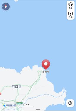

Measurement conditions: The measurement is based on verifying the working condition of the 2D mode, the measurement method is to voyage across the pipeline, the ship speed is 4~5 knots, and the shallow profiling ping rate is around 20~25.
Installation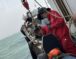
Deck Unit Power up Test:
Results of real measurements in 2D mode:
The seafloor above the pipeline was detected in almost every image below, and additional cables laid on the seafloor were blindly detected, with an unknown cable diameter. You can carefully observe the arcs near the seafloor that are smaller than the pipeline arcs, which are basically cables laid on the seafloor.

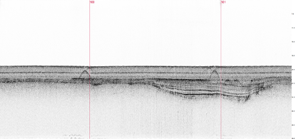
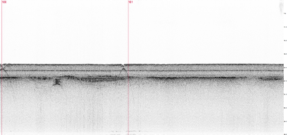

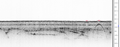
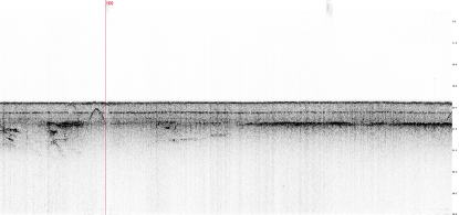
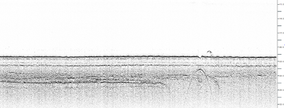
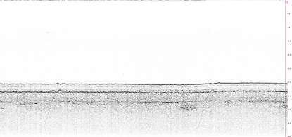

Typical of river floodplain phases, in practice the collection shows a light size scale background, obvious targets, and clear stratigraphic properties.
Summary:
During the test in Dongying harbour, we focused on the 2D mode, voyaging across the pipeline for testing, with stable equipment performance, obvious pipeline echo signals and clear stratigraphic information. Unexpected gain is that in the measurement of the buried pipeline at the same time also found a number of submarine cable arcs above the pipeline.

